Professional Ship Simulator Rügen, Dover, and Harbor Map
Two real-world boxes, forty-plus harbors, and the traffic that fills them.
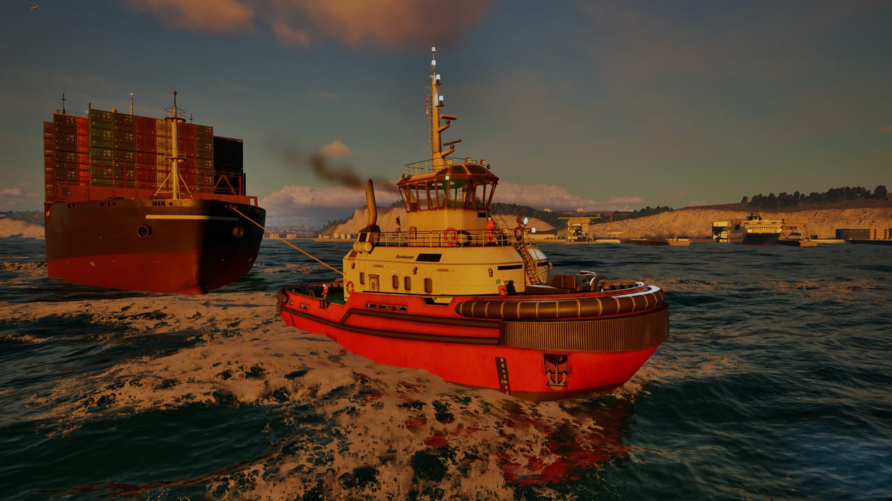
Professional Ship Simulator does not ship a toy archipelago. Early Access scenery is two large boxes built on real height and depth data: the German island of Rügen at about 60 by 120 km, and the Strait of Dover at about 140 by 140 km. Together they hold thousands of seamarks and lights, more than forty harbors, and AI traffic from open-water lanes into crowded basins. About twenty harbors can hand out missions through the radio menu.
If you are still learning cameras, stay inside one basin using getting started. If you are ready to plan a crossing, pair this page with how to play for waypoints and with missions for why you are going.
Rügen and the Baltic classroom
Release candidate 1717 added a higher-resolution nautical chart for the Rügen sea area, plus waypoint, radar, sonar, compass, and autopilot polish. Rügen is still the gentler teacher for many new captains. The island’s coasts, approaches to places such as Sassnitz and Stralsund, and the Greifswald-area waters shown in official navigation footage give you short legs, real seamarks, and harbors that still punish inattention. Official clips of “Greifswald Harbor to open sea” are exactly the syllabus: leave a confined harbor, follow marks, and only then open the throttle.
Expect mixed work. Ferries, fishing marks, buoy repairs, and rescue cases all make sense here. Inner waters will demonstrate bank effect better than any tooltip. Watch draft — a one-metre pleasure boat and a bulk carrier do not share a shortcut over the same bank. The physics model includes sea-current and wind drift, so a Baltic breeze still walks you off a planned track.
Night on Rügen is a navigation lesson, not a graphics preset. Lights on real-world marks are part of the scenery brief. If you cannot identify a light, slow down and use binoculars from a bow camera. The controls page covers camera binds; this page is your reminder to use them.
The Strait of Dover
Dover is the statement piece: 140 by 140 km of one of the busiest real waterways on earth, with Calais on the French side and the English ports opposite. Creator missions already run LNG tankers from Calais to Dover in heavy wind. That is not a beginner route. Treat the traffic separation scheme as real. AI shipping lanes will fill it. Your job is to cross or transit without becoming the incident.
Use radar AIS/CPA here even in good visibility. Fog in the Channel is a classic for a reason. Echo sounder earns its keep on the approaches. If you came for cinematic storms, Dover will provide them; if you came to learn docking, pick a smaller Dover-area basin and a workboat first.
Fast travel appeared in public betas as a way to skip long steam time, with the twist that random weather and rescue events can interrupt the skip. Do not assume a fast travel is a loading screen. Stay ready to take the helm.
Harbors, marks, and how the map grows
Forty-plus harbors sound like a lot until you notice only about half are mission vendors. The rest are geography: places to visit, hide from weather, or practise an approach. Dry docks exist at some main harbors for hull repairs. Offshore wind infrastructure shows up in marketing shots and tug scenarios; treat those jackets as both landmarks and collision hazards.
Seamarks include lighting for night work. The chart (M) is your planning tool; the view out of the window is still the truth. Importing GPX and talking NMEA to an external plotter is supported if you already live in that hardware world. It is not required to finish a demo evening.
The map is tile-based and described as moddable, but modding is not part of the Early Access launch. SWE Systems and Aerosoft say editors for harbors, ships, and scenarios are planned soon after. Until then, you sail the two official boxes. The roadmap tracks that promise. More official sceneries are planned beyond Rügen and Dover; do not expect them on 16 September 2026.
Pick a first route that is short, marked, and boring: a Rügen harbor to the nearest safe water, in daylight, on a beginner ship. Log what the wind did to you. Then lengthen the leg. The wiki review explains why this scenery-first design is the whole pitch of the sim — if the world feels thin, wait for post-launch tiles rather than forcing a tanker through a fishing creek.
Frequently Asked Questions
Quick answers before you take the helm.
How big are the launch maps?
Rügen is about 60 by 120 km. The Strait of Dover is about 140 by 140 km. Both use real-world elevation and depth data.
How many harbors can give missions?
More than forty harbors exist; about twenty support mission tasking through the radio menu.
Can I add custom maps on day one?
No. Modding is planned after Early Access begins, not at the 16 September 2026 launch.
Which map should I learn first?
Rügen, in daylight, on a small ship. Save Dover’s traffic lanes for when cameras and CPA are comfortable.